Precisione
persone veramente professionali
December 19, 2017 | Andrea Militano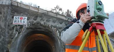
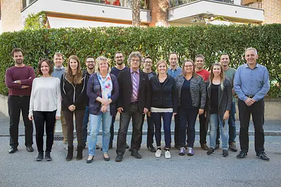
Bernasconi and Forrer engineering and measurements SA is a company formed in 2014 by the merger of the engineering firms Maderni Capezzoli Forrer Sagl (founded in 1921) and Gisi and Bernasconi SA (founded in 1971). In 2019, we also integrated the measurement section of the engineering firm Antonio Bottani. Our activity in the canton in the field of surveying, cadastre and rural engineering can thus boast several decades of experience!
The current co-owners are Cristiano Bernasconi, Antonio Bottani and Fabio Forrer all engineers who graduated from the Swiss Federal Institute of Technology in Zurich and surveyors registered in the Federal Register of Surveyor Engineers.
Today the office employs about 30 people. These are skilled and experienced professionals who work using modern surveying and data processing systems concerning the land. Over many years of activity, the firm has earned the trust of public agencies, cantonal offices, municipalities, consortia, construction companies, engineering firms, architectural firms, and private clients who appreciate our expertise, the quality of our work, and the speed with which we complete the work entrusted to us.
The firm recognizes the importance of good training and consequently has always been committed to the training of apprentices in the field of geomatics (especially cadastral surveying and technical surveying).
The services and activities of our firm revolve around the central themes of:
So more precisely:
Official cadastral surveying in the municipalities of:
Property appraisals and evidence for future reference (assessment of the commercial value of properties, photographic documentation of the state of buildings and infrastructure in the vicinity of construction sites)
Modeling (molding up to 27m in height, material rental, tracking significant points. assembly and disassembly of molding)
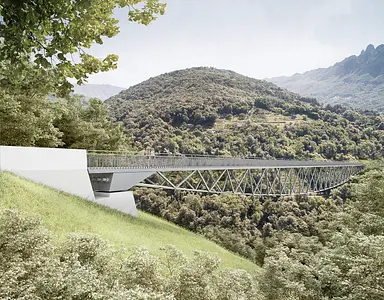
Topographical Survey (terrain profiles and sections, processing of plans with contour lines, 3D digital terrain models
Architectural Survey (surveying details of building exteriors and interiors, restitution of floor plans, facades and sections, processing of 3D BIM models)
Tracking at construction sites of reference axes and elevations for construction, verification of compliance with building regulations for municipal authorities (compliance with building permit)
Excavation volumes and material deposits (surveys by laser scanner, terrestrial and satellite measurement, photogrammetry, volume calculation by before-and-after soil model comparisons)
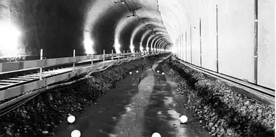
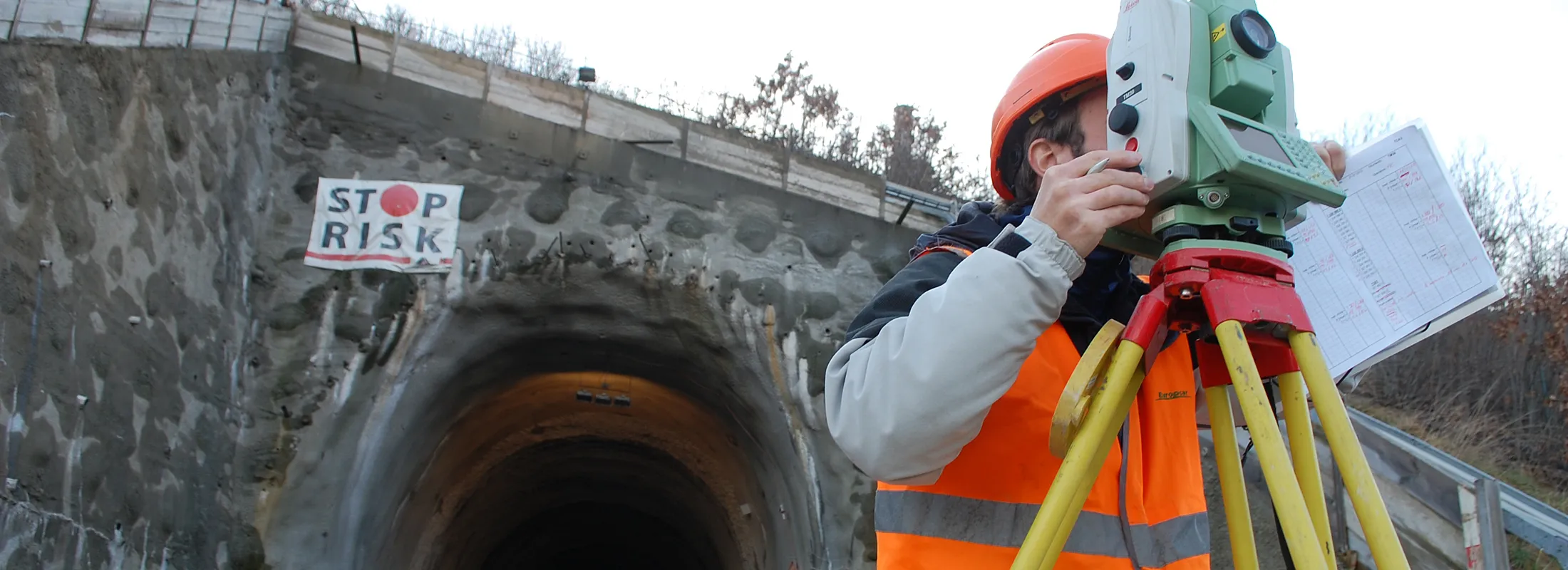
Geodetic monitoring (determination of settlements and displacements up to the order of mm, manual measurements and/or installation of automatic infrastructure with data transmission via web)
Property by plans(setting up the plan of allocation of shares, setting up the plan of allocation of common parts, calculation of thousandths)
Municipal engineering (computerization of master plans, land improvements, pipeline cadastre)
persone veramente professionali
December 19, 2017 | Andrea Militano